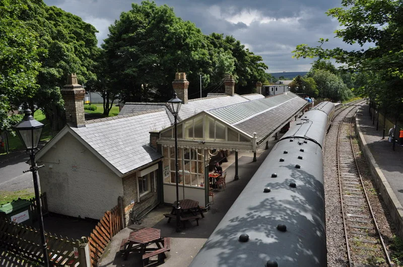
 Ashley Dace, CC BY-SA 2.0
Stanhope
England
1,633Population
Ashley Dace, CC BY-SA 2.0
England
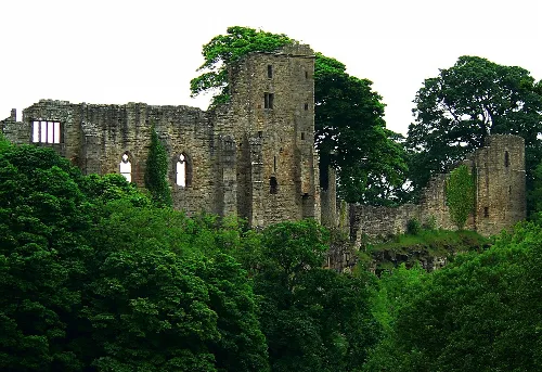
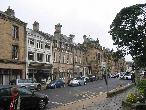
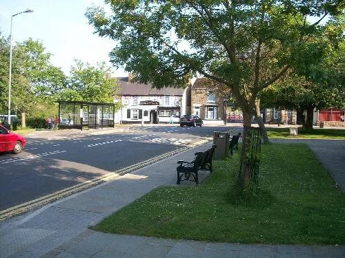
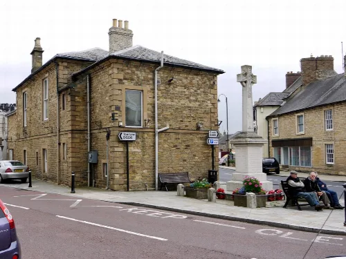
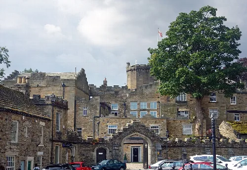
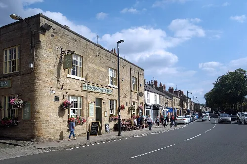
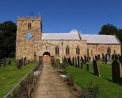
Stanhope is a market town located in County Durham, England, nestled within the scenic North Pennines Area of Outstanding Natural Beauty. Known for its rich history and natural surroundings, it features notable landmarks such as Stanhope Castle and a petrified tree stump in the churchyard.
Stanhope is situated along the River Wear, positioned between Eastgate and Frosterley in the Weardale region. The town is surrounded by moorland and is part of the North Pennines AONB, which is recognised for its stunning landscapes and biodiversity.
The name Stanhope originates from the Old English term stānhop, meaning 'stone valley'. The town has a rich historical background, including its involvement in the Weardale campaign of 1327, where skirmishes occurred between Scottish and English forces.
Stanhope is a historic market town in County Durham, known for its scenic beauty and notable landmarks like Stanhope Castle.
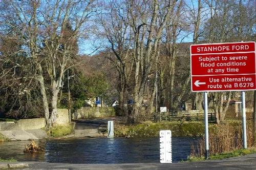
Stanhope is home to several points of interest, including the Durham Dales Centre, which offers a tea room and craft shops. The town also features one of the few heated open-air swimming pools in the North East and the historic Stanhope Bridge, a scheduled monument.
Own text, written with AI assistance from the facts in Wikipedia · Stanhope, County Durham · Data: Wikidata Q428342 · Photos: Wikimedia Commons, see individual licenses. · CC BY-SA 4.0