What is the history of North Petherton?
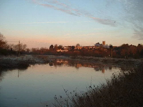
North Petherton has a rich history dating back to at least the 10th century, originally serving as an important Saxon settlement. It was a royal estate and a meeting place for the Hundred of North Petherton. The town evolved from a market centre and was officially designated a town in the late 20th century, previously claiming to be the largest village in England.
History
What can I see at the Church of St Mary?
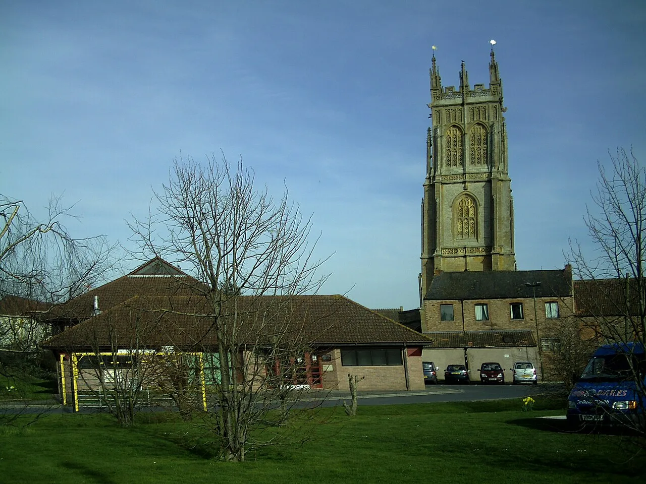
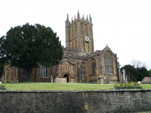
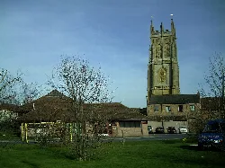
The Church of St Mary the Virgin features a highly decorated tower, claimed to be one of the tallest in the West Country at 112 feet. Dating mainly from the 15th century, it includes a minstrel gallery from 1623, a peal of six bells, and a clock made in Bridgwater in 1807. It is a Grade I listed building, reflecting its historical significance.
Sights
Church of St Mary
What is the North Petherton Carnival?
The North Petherton Carnival is an annual event held on the second Saturday of November, part of the West Country Carnival circuit. It features elaborate floats and costumes, drawing participants from various communities. The carnival is a vibrant celebration of local culture and tradition, following the Bridgwater Carnival the previous week.
Festivals & events
What are the local schools in North Petherton?
North Petherton has two primary schools that have merged to form North Petherton Primary School, catering to infants and juniors. For secondary education, students typically attend schools in nearby Bridgwater, including Robert Blake School and Bridgwater College Academy, among others.
Living there
For residents
Is there any notable wildlife near North Petherton?
Yes, southeast of North Petherton lies North Moor, a Site of Special Scientific Interest. This area is known for its diverse aquatic plant communities and is home to a variety of bird species, making it an important habitat for wildlife enthusiasts and nature lovers.
Nature
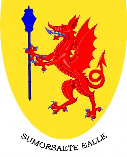
What does the Somerset shield represent?
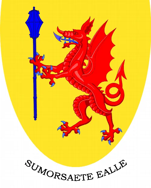
The Somerset shield features a red dragon rampant holding a blue mace on a yellow background. This emblem reflects the historical and cultural heritage of Somerset, symbolising strength and pride associated with the region.
Sights
Somerset shield
What archaeological significance does North Petherton have?
North Petherton's centre is designated as an area of archaeological potential, with evidence suggesting the presence of timber buildings from the late Saxon period. Excavations have revealed a 14th-century cemetery, indicating the area's historical importance and potential for further discoveries beneath the town.
History
For residents
How did North Petherton become a town?
North Petherton transitioned from being a significant village to a town in the late 20th century. Historically, it was an important market and administrative centre, but its growth was further spurred by its proximity to Bridgwater and Taunton, becoming a dormitory town for commuters.
History
For residents
What are some local industries in North Petherton?
Historically, North Petherton had various industries, including basket making and brewing. Although many traditional industries have declined, the town now hosts service businesses and farming, with a new Regional Agricultural Business Centre established in 2007 to support local agriculture.
Food & drink
For residents
What is the significance of the Alfred Jewel?
The Alfred Jewel, found in 1693 at Petherton Park, is believed to have been commissioned by Alfred the Great. This exquisite object, made of gold and rock crystal, was likely used as a reading aid. A replica is displayed at the Church of St Mary, highlighting its historical importance.
History