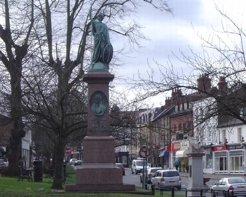
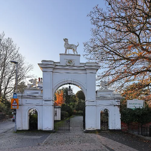
Dorking is a market town located in Surrey, England, approximately 21 miles south-west of London. It is characterised by its historical significance, picturesque surroundings, and a vibrant local economy that has evolved over centuries.
02Geography
Dorking is situated in central Surrey, nestled between the Mole Gap and the Vale of Holmesdale. The town is bordered by the Surrey Hills National Landscape, providing a scenic backdrop, and is located near notable landmarks such as Box Hill and Leith Hill.
Distance to coast
Approximately 21 mi (34 km)
Highest point
137 m (449 ft) at Glory Wood
Surrounding area
Metropolitan Green Belt
Nearby Sites of Special Scientific Interest
Mole Gap to Reigate Escarpment
03History
Dorking's history dates back to prehistoric times, with evidence of human activity from the Mesolithic and Neolithic periods. The town may have served as a staging post during Roman times, and it has been a market town since at least the medieval period, renowned for its poultry.
Domesday Book entry Dorking appears as Dorchinges in 1086, held by William the Conqueror.
Market establishment First recorded market in 1240, claimed to have been held twice weekly since.
Dorking Hoard A significant find of around 700 silver pennies from the mid-8th to late-9th centuries.
Tudor period Local economy thrived, particularly in agriculture and poultry.
Expansion 18th and 19th centuries saw significant residential development due to improved transport links.
Dorking is a historic market town in Surrey, England, known for its scenic beauty and rich heritage.
04Economy and Commerce
Dorking's economy has historically revolved around agriculture, particularly poultry farming, which led to the naming of the Dorking breed of chicken. The town has also seen various industries, including lime production and quarrying, contributing to its economic development.
Market significance Dorking's market was noted for poultry and grain, especially during Tudor times.
Lime production Chalk was quarried for lime until the early 20th century.
Caves and tunnels Used for wine storage and glass-making, with guided tours available.
Cherry fair Held in July during the 17th and 18th centuries, revived in the 20th century.
Industrial decline The local economy faced challenges in the late 17th century due to competition.
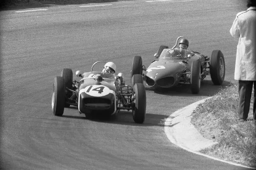
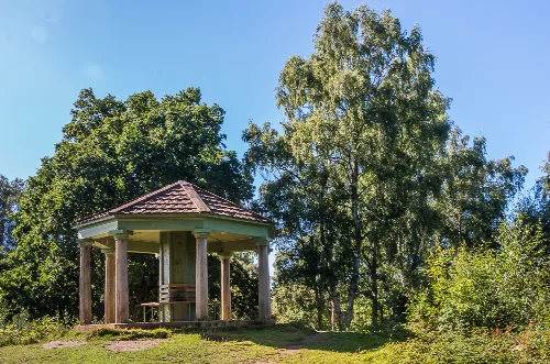
Historic black and white photo of two racing cars on a track at Zandvoort during the 1961 Grand Prix.The Temple in Dorking, Surrey, is a small, open-sided structure with a tiled roof, surrounded by trees on a sunny day.
05Transport and Infrastructure
Dorking has a rich transport history, with the establishment of turnpike roads in the 18th century and the arrival of the railway in the 19th century, which significantly improved access to the town. Today, it is served by multiple railway stations and bus routes.
Railway stations Dorking West, Dorking Deepdene, and Dorking station serve the area.
Turnpike road Authorized in 1755, enhancing transport links to London.
Bus routes Multiple routes connect Dorking to surrounding towns and cities.
Cycle routes National Cycle Route 22 passes through the town.
Roads A24 and A25 intersect at Deepdene Roundabout.
06Residential Development
Residential growth in Dorking accelerated in the 19th century, driven by the arrival of the railway and the demand for housing from affluent London commuters. Various estates and planned developments emerged, shaping the town's character.
Rose Hill estate Developed in the 1830s, featuring planned residential plots.
Deepdene and Pippbrook estates Broken up in the 1920s and 1930s for housing development.
Council housing First built in Nower Road in 1920.
Slum clearance 217 residents displaced in 1936 for redevelopment.
Architectural styles Includes mock-Tudor and Gothic Revival influences.
07Cultural and Community Life
Dorking boasts a vibrant community with a rich cultural heritage, including various religious institutions and local events. The town has a history of nonconformity and has been home to notable figures in literature and religion.
Religious diversity Includes Anglican, Catholic, and nonconformist churches.
Mayflower connection Home to six Pilgrims before their voyage to the New World.
Annual fairs Traditionally held on Ascension Day and for local produce.
Twinned towns Dorking is twinned with Gouvieux (France), Güglingen (Germany), and Sinalunga (Italy).
Cultural events Local festivals and community gatherings are part of Dorking's heritage.
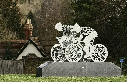
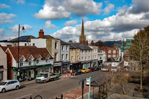
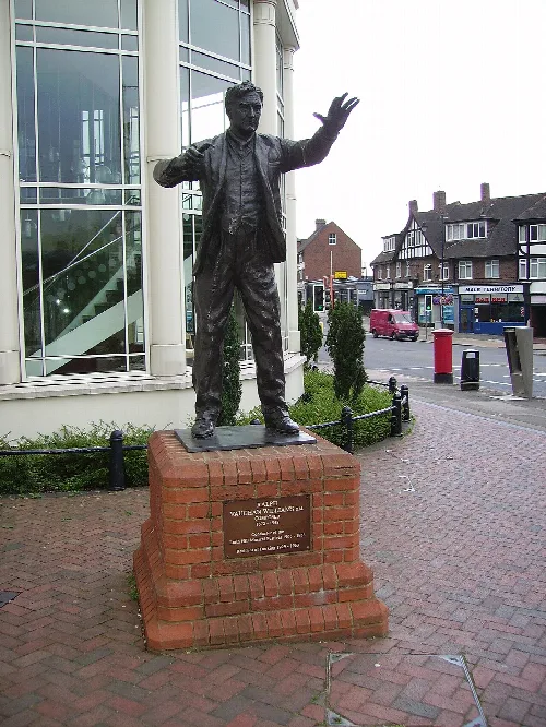
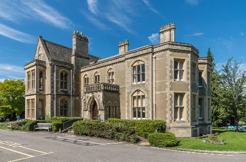
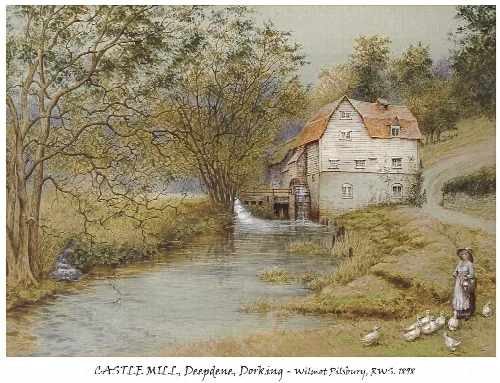
A sculpture of two cyclists at the Pixham End roundabout in Dorking, Surrey, unveiled in July 2012, with oak leaves representing public donors.South Street, Dorking, seen from Butter Hill with shops, parked cars, and a church spire in the background.Bronze statue of Ralph Vaughan Williams in Dorking, Surrey, depicting him conducting.Pippbrook House, a historic building with Gothic windows, in Dorking, Surrey, under a bright blue sky.A historic painting of Castle Mill on the River Mole at Deepdene, Dorking, showing a watermill, trees, and a woman with ducks.
Frequently asked questions
What can you tell me about The Temple in Dorking?
The Temple is a charming open-sided structure located in Dorking, surrounded by trees. It features a tiled roof and offers a picturesque spot for visitors to enjoy nature. This small building is often appreciated for its tranquil setting, making it a lovely place to relax and take in the scenery.
Dorking is considered a desirable place to live due to its scenic surroundings, being bordered by the Surrey Hills National Landscape. The town has a rich history and a strong community feel, with a mix of residential options and local amenities. Its transport links to London also make it attractive for commuters.
What is the history behind the Dorking breed of chicken?
The Dorking breed of domestic chicken is named after the town, where a market has been held since medieval times, renowned for its poultry. The breed is distinguished by its five claws, unlike the typical four, and has been valued for its meat quality, contributing to Dorking's agricultural heritage.
What events take place in Dorking throughout the year?
Dorking hosts various events, including a traditional market that has been held weekly since medieval times. Additionally, a cherry fair was historically celebrated in July, showcasing local produce. The town often revives such traditions, creating a vibrant community atmosphere.
What is the significance of the Cycle Race Sculpture in Dorking?
The Cycle Race Sculpture, located at the Pixham End roundabout, was unveiled in July 2012. It represents two cyclists and features oak leaves to honour public donors. This artwork celebrates the town's cycling culture and adds a modern touch to Dorking's landscape.
Dorking's transport infrastructure has significantly improved since the 18th century, with the establishment of turnpike roads and the arrival of the railway in 1849. These developments enhanced accessibility, allowing the town to thrive and expand as a residential area for commuters.
Dorking is surrounded by the Surrey Hills National Landscape, offering stunning natural scenery and outdoor activities. Nearby attractions include Box Hill and Leith Hill, both popular for hiking and enjoying panoramic views of the countryside, making them ideal for nature lovers.
What archaeological findings have been discovered in Dorking?
Dorking has a rich archaeological history, with evidence dating back to the Mesolithic and Neolithic periods. Notable findings include flint tools and Bronze Age bowl barrows. The discovery of charred hazelnut shells during a supermarket rebuild highlights the area's ancient human activity.
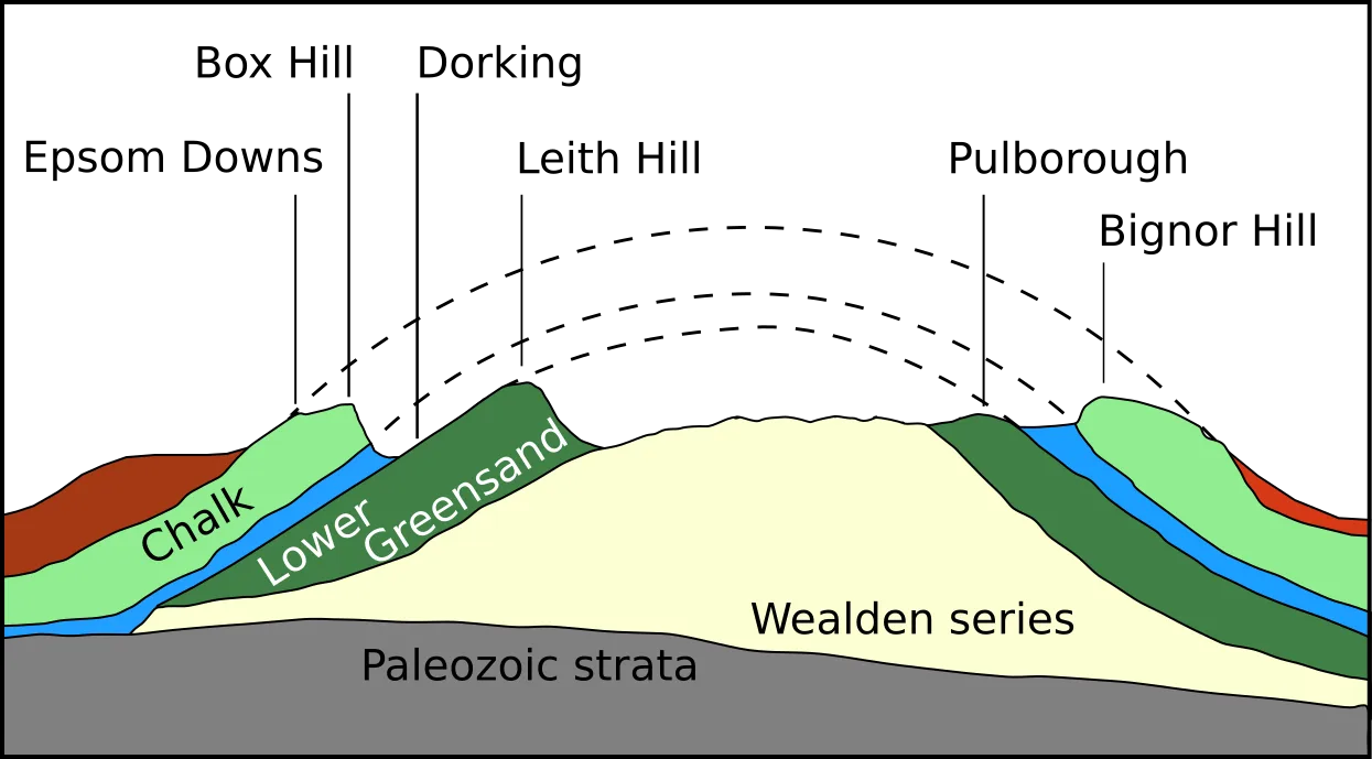
Dorking is situated on the Lower Greensand Group, which features various rock strata. The area is known for its geological history, including the presence of fossils such as ammonites. This geological diversity contributes to the town's unique landscape and natural resources.
During Tudor times, Dorking flourished economically, particularly due to its market known for poultry. The town's agricultural activities thrived, supported by its fertile Lower Greensand soil, which was ideal for rearing chickens, establishing Dorking's reputation in the region.